SAM IS ....
Grey Arrows Drone Club obtains over 370 Byelaws relating to Recreational Drone Use

Over 370 Local Authority Byelaws and Policies on the Recreational Use of Drones are now available on Drone Scene.

Grey Arrows Drone Club is pleased to announce the integration of over 370 Local Authority Byelaws and Policies governing the recreational use of drones into our Drone Scene platform. This comprehensive data mapping comes as a result of more than 370 Freedom of Information (FOI) requests submitted to Local Authorities throughout England, Scotland, Wales, and Northern Ireland in March 2024.

The FOI request sought detailed information regarding the authorities regulations on the recreational use of drones from land under their jurisdiction.

Grey Arrows Drone Club asked each authority:

  1. Do you have any byelaws specifically relating to the recreational use of drones from your land? If yes, please provide:
    a) The date(s) of these byelaws.
    b) A digital copy of the byelaw(s) or a link to where these can be found on your website.
  2. In the absence of specific byelaws, do you have any policies relating to the recreational use of
    drones from your land? If yes, please provide:
    a) The date(s) of these policies.
    b) A digital copy of the policies or a link to where these can be found on your website..

Furthermore, over four million data points defining the exact boundaries of each Local Authority have been incorporated into the Drone Scene platform.

This high level of mapping detail enables Club members to find byelaw and policy information for each local authority with just a couple of clicks.

The results are available electronically and are available to club members at any time.

Drone operators are advised to consult local byelaws and policies before flying from publicly owned land.

Grey Arrows Drone Club is a member of ARPAS-UK.

Grey Arrows Drone Club – https://GreyArro.ws
Drone Scene – https://DroneScene.co.uk

1 May 2024 – Wigan, Greater Manchester, United Kingdom.

SAM IS ....
DfT Future of Flight Action Plan Update at the ARPAS-UK Annual Conference 2024

Jenny Ward, Deputy Director of the Future of Aviation Team at the Department for Transport, presented the Future of Flight Action Plan update to ARPAS-UK Members at BT’s Headquarters on 18th April 2024.

ARPAS-UK thanks Jenny for her time and willingness to be involved with the Annual Conference.

The presentation was followed by a Q&A section. Those questions not answered during the session will be forwarded to Jenny. Answers will be given to ARPAS-UK members.

YouTube

Presentation:

18 April 2024

SAM IS ....
CAA Update at the ARPAS-UK Annual Conference 2024
  • Kevin Woolsey, Head of RPAS Systems at the Civil Aviation Authority (CAA)
  • Callum Holland, RPAS Sector Lead: Application at the CAA

Kevin Woolsey and Callum Holland joined the ARPAS-UK Team and Members at their Annual Conference to provide an update on CAA activities. The presentation was followed by Q&A. Any questions not answered in the session have been forwarded to Kevin and Callum for response.

The Presentation:

SAM IS ....
The ARPAS-UK Annual Conference Update

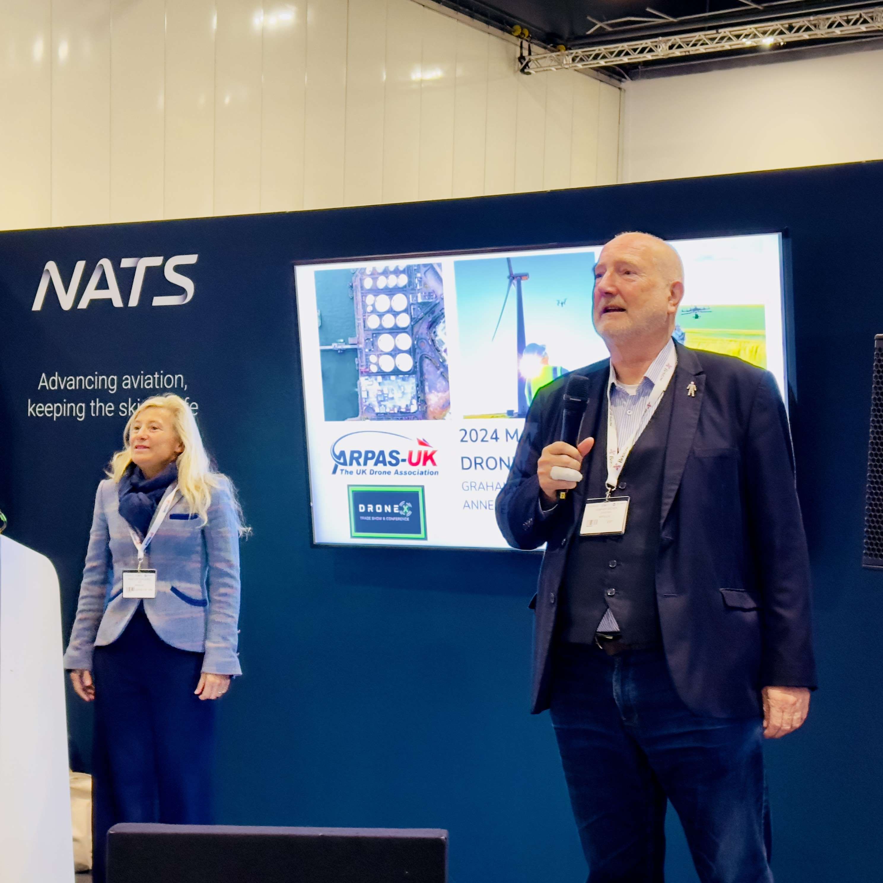
Graham Brown, Chair, Anne-Lise Scaillierez, CEO and Elena Major, Operations & Membership, provided an update to the Annual Conference on activities and priorities.

Presentation:

18 April 2024

SAM IS ....
BT’s Drone Team present at the ARPAS-UK Annual Conference 2024

ARPAS-UK were delighted to be able to hold the 2024 AGM and Annual Conference at BT’s headquarters in London on 18 April. We welcomed BT’s Drone Team and their talk on Mobile Networks as a BVLOS Enabler.

Presentation:

18 April 2024

SAM IS ....
Drone integration: could Scotland’s Orkney Islands provide a blueprint?

A blueprint for effective integration of drones with crewed aviation into unsegregated airspace?

Airspace is a critical piece of infrastructure requiring modernisation to accommodate a new generation of crewed and uncrewed aerial vehicles. As part of a pioneering project, Highlands and Islands Airports Limited (HIAL), supported by Egis, have proposed an airspace design and operational concept that would allow drones to be integrated in an operational trial alongside crewed aircraft in uncontrolled airspace in the Orkney Islands. If successful, the trial will provide a blueprint that could be rolled out more widely across Scotland and the UK. Egis’ Richard Derrett-Smith and HIAL’s Pat Nolan explain more.

Outside of major conurbations and airports, as much as 70% of the UK’s airspace is uncontrolled, meaning that anybody can fly there, subject to some basic rules. This contrasts with controlled airspace, which is managed by air traffic controllers, with rules and communication protocols to keep airspace users safely separated. The problem is that the existing airspace structures and associated Air Traffic Service regulation for both controlled and uncontrolled aviation cannot currently accommodate the needs of all types of aircraft, including one of the fastest growing user groups: drones.

In Scotland’s Orkney Islands, uncrewed medium and heavy lift drones (100 – 300 kg) are already being used for fast collection and delivery of medical supplies, pharmaceuticals, and perishable goods, like shellfish – which are transported from outlying islands back to a hub airport at Kirkwall and then flown onward to places like London in a fraction of the time it would take for them to travel by ferry. However, to date, these trials have all taken place using Temporary Danger Areas (TDAs) which restrict other airspace user activity and are not sustainable for commercial operations. The objective of this project is therefore to develop a trial airspace test zone based on a more permanent, less restrictive form of airspace, where future sustainable aviation technology and use cases can be demonstrated.

HIAL’s Pat Nolan has been working with Egis’ Richard Derrett-Smith and Stewart Wallace on developing the Trial Orkney Test Zone or TOTZ. This pioneering project is part of the Sustainable Aviation Test Environment (SATE) and is part funded by the UK government through the UK Future Flight Challenge programme. HIAL is both an airport operator (with 11 regional airports) and an Air Navigation Service Provider, and so it plays a vital role in supporting essential lifeline services, connectivity and socio-economic development within the rural and island communities. Pat says: “Our aim is to establish the UK’s first low carbon sustainable aviation test centre, including a dedicated airspace test zone, to be located at a commercial airport.” Using Kirkwall Airport as its base, the test zone has been designed to minimise the impact on Kirkwall airport’s operations. Kirkwall is a licensed commercial airport that provides services for approximately 12,000 aircraft movements carrying 130,000 passengers per year, the majority of which by Loganair the airport’s principal operator. Kirkwall airport, which provides an aerodrome and procedural approach service, is located in Class G airspace and has a suite of both conventional and RNP instrument approach procedures.

Using Kirkwall Airport as its base, the test zone has been designed to minimise the impact on Kirkwall airport’s operations. Kirkwall is a licensed commercial airport that provides services for approximately 12,000 aircraft movements carrying 130,000 passengers per year, the majority of which by Loganair the airport’s principal operator. Kirkwall airport, which provides an aerodrome and procedural approach service, is located in Class G airspace and has a suite of both conventional and RNP instrument approach procedures.

Richard says: “From the outset our approach has been to align our solution with the UK CAA’s vision for modernising airspace and with the recently released Future of Flight Action Plan.”
The TOTZ extends northwards over the Orkney archipelago and is subdivided into 5 subzones, such that only those zones required to support a particular trial or operational activity need be activated, thereby leaving the other TOTZ subzones available to other aircraft. This is consistent with the CAA’s Flexible Use of Airspace policy to ensure equitable access to airspace for all airspace users. The TOTZ airspace design ensures separation from Kirkwall’s instrument approach procedures which will minimise disruption to Kirkwall’s scheduled commercial flights.
Richard continues: “We have included an emergency buffer zone around the TOTZ to ensure that the drone’s Detect and Avoid (DAA) system, air traffic control and/or the drone pilot can take appropriate action to neutralise any potential conflict if a non-participating aircraft unexpectedly enters the emergency buffer zone.”


Airspace design: Trial Orkney Test Zone (TOTZ)

Designed to minimise impact on Kirkwall Airport operations

Of course, airspace is not the only driver in terms of managing risk. The HIAL and Egis team also considered the critical role of air traffic services in providing effective oversight to the TOTZ operations. Communications, navigation and surveillance technology proportional to the scale and complexity of airspace users is also part of the solution, and, coupled with the technology on the drone, will need to integrate effectively with the airspace design and air traffic service delivery to minimise operational risk and support sustainable commercial operations at scale.

Concludes Pat: “The SATE project and HIAL are confident that the TOTZ trial will be accepted by the UK CAA into its Regulatory Sandbox (Temporary Reserved Area) programme, enabling us to deliver the TOTZ airspace trial in the Orkneys based on integrated operations in unsegregated airspace from Kirkwall airport. The outputs from the TOTZ trial will provide HIAL with the data and experience to establish a more permanent trial airspace known as the Orkney Trial Zone (OTZ). The OTZ will provide the blueprint for HIAL to implement a similar hub and spoke airspace model across the HIAL airport estate.”

Adds Richard: “We see the TOTZ trial as vital first steps towards achieving integrated RPAS operations in unsegregated airspace, which is a European, if not global aim these days. It will also generate some key learning points for uncrewed aerial system operators, who need to understand how they can work from a licensed commercial airport.”

Read more about about our work on drone integration in the UK. For more information about the Trial Orkney Test Zone (TOTZ), contact Richard Derrett-Smith, Director Egis.

Richard Derret-Smith

Associate Director, Aviation

Feature image credit: Windracers

Egis is a member of ARPAS-UK.

SAM IS ....
UK Drone SME engagement with MoD: webinar 20 June 2024 at 11.30am: Members Only

Acquisition & spiral development to realise the UK Defence UAS & RPAS strategy

Join Simon Holford, Head of UAS & Remotely Piloted Air Systems Portfolio at Defence & Equipment Support (DE&S), as he explains how UK SMEs in the drone industry can engage with and be part of the MoD’s UAS Programme.

The MoD recently released the UK’s Defence Drone Strategy.

The webinar will be held on Teams, hosted by the MoD for security reasons, and is available ONLY to ARPAS-UK Members. This will not be recorded.

About the Speaker:

Simon Holford

A Senior Civil Servant leading the procurement, spiral development and in-service support of Remotely Piloted Air Systems to the UK’s Armed Forces. Previous experience as a director within defence industry and a Brigadier in the British Army.

SAM IS ....
CHIRP Drone/UAS Feedback Edition 10

Expect the Unexpected!

What could possible go wrong? Threat and Error Management (TEM) is a vital part of anticipating problems and ensuring safe operations.

Welcome to Drone FEEDBACK Edition 10.

I hope you have had some good winter flying for pleasure, gathering data of one sort or another or perhaps doing trials for medical deliveries. Seasonal icing, fog and of course rain have been the main challenges the sector has had to overcome over the last few months. This has led to cold fingers trying to manipulate controllers and their myriad of buttons as well as small screens, batteries not lasting as long as they do at warmer times of the year, and other “gotchas” lying in wait for the unwary drone pilot.

In this issue we have a number of reports that were sent directly to CHIRP and we have kept our eyes open for some additional Human Factor related happenings that we feel would be useful to bring to the attention of the drone flying community. We have included a report from NASA and the UK AAIB, both of which exemplify situations that might happen to any of us and that involve Human Factors.

Whilst the days are now starting to get longer, we have been hampered by fog recently and although some of the latest drones alert you to “low visibility” these days don’t let that warning alone be the deciding factor for the decision to take-off or not. As we have noted in previous editions, propeller icing forms in a number of different scenarios so stay wary of that too when the temperature drops and you are flying in the early hours!

Human Factor related errors will however continue to creep into day-to-day operations and make life difficult. Let’s see if we can learn something from the occurrences described below.

Rupert Dent, Drone/UAS Programme Manager

Contents

  • Unexpected Move Post Launch
  • Collision During Swarming
  • Inadvertent Flight Above 400ft
  • Collision with Wind Turbine
  • Flew Through Electricity Cables

SAM IS ....
Gotonomi and Videosoft partner to simplify UAV live video streaming

Partnership will integrate satcom and ultra-low bandwidth video streaming solutions, enhancing BVLOS operations for UAV operators

18th April, UK: Gotonomi, a UAV satellite connectivity platform provider, and Videosoft, developers of video streaming solutions, today announced a partnership that will simplify video live-streaming over satellite for UAV operators.

By integrating Videosoft’s low-bandwidth video software with Gotonomi’s Velaris Multi-Link satellite communication module, the partnership will enable operators to effortlessly receive real-time video from UAVs, even in remote areas without mobile or direct radio coverage. This new solution, which uses Viasat Velaris, a dedicated UAV connectivity service, will be particularly advantageous for BVLOS (Beyond Visual Line of Sight) operations as it will address scenarios where conventional communication methods fall short.

Secure video transmission is a key enabler for commercial UAV operators. It allows operators to perform tasks such as surveillance and monitoring in remote or hazardous locations, which are too dangerous or inaccessible for personnel to reach directly, providing an immediate response to emergencies. This combined solution has potential for ground, marine and IoT use cases, as well as for BVLOS UAV missions.

The Velaris Multi-Link module is a low size, weight and power hybrid terminal with integrated edge computing. The System on Module (SoM) allows custom applications such as Videosoft’s video compression software to process data for streaming over Viasat’s resilient Velaris global satellite solution, available almost anywhere on the planet. In addition, the Multi-Link includes an LTE module providing low latency 4G communications for redundancy. Videosoft’s software allows users to easily manage remote activities and guide remote decision-making with up-to-the-minute information and 24/7 access. This enables real-time control, and provides enhanced communication, safety, and efficiency across land, sea and air. The software will be pre-loaded and Videosoft will offer a FREE trial with each unit.

The Gotonomi Multi-link Module and 200-A Omni standalone antenna, LTE antenna also shown

Matthew Hill, General Manager at Gotonomi, said:
“We are delighted to provide Videosoft’s software pre-loaded on Gotonomi’s Velaris Multi-Link terminals. There was always a vision for the requirement of edge compute to add value to UAVs operating in BVLOS situations and video compression has become a lead application. Videosoft is pioneering ultra-low bandwidth streaming capabilities and we’re excited to enter this partnership to optimise this combined solution. This is a great demonstration of why both parties are part of Viasat’s Velaris network and why its L-Band network is a perfect choice for making safe and scalable BVLOS operations a reality.”

Stewart McCone, CEO at Videosoft Global, said:
“This partnership marks a significant milestone for us, tapping into a wide range of opportunities in BVLOS operations by enhancing aerial communications. Our solution is rapidly gaining traction in the UAV industry, and this collaboration has taken it to greater heights. With video integration seamlessly embedded into the Velaris Multi-Link Satellite Terminal, organisations can confidently embrace the aerial autonomy revolution.”

Anthony Spouncer, Senior Director of Advance Air Mobility (AAM) at Viasat, said:
“This is a huge step forward in providing affordable Satcom for commercial UAV operations, starting with real-time video in the remote inspection & surveillance sectors. I believe the ability to use the ‘System on Module’ for embedded applications, edge processing and multi-path data links, with LTE and our highly resilient Velaris service, will transform commercial UAV operations and use cases.”

Through this partnership, Gotonomi and Videosoft will offer an integrated solution that leads the market in terms of a lightweight, low-power and cost-effective solution for remote inspection and surveillance markets: the Velaris Multi-Link Module with embedded secure video transmission via the Gotonomi 200-A OMNI stand-alone antenna.

Come and meet us at Xponential 2024, booth #5213, 23-25th April, San Diego Convention Center, San Diego, CA.

Key specs:
Velaris Multilink – 140 x 95 x 15 mm (5.5 x 3.7 x 0.6”), 230g (8.1 oz) mass, 18W average power (full specs here)
Gotonomi 200-A Omni Antenna – 103mm (4.1”) diameter, 72mm (2.8”) high, 210g (7.4 oz) mass

About Gotonomi

Gotonomi’s mission is to enable always on-connectivity for autonomous and remotely piloted vehicles, making safe and scalable beyond visual line of sight operations a reality. We have a vision to provide a platform for the development of UAV services for safe autonomous operation on land sea and air. Our disruptive miniaturised communication system designed by TTP plc enables satellite and cellular connectivity to smaller and lighter-weight UAVs. Connecting to the Viasat Velaris network, our technology enables beyond visual line of sight operations by enabling command and control, telemetry, data services such as video streaming, voice relay and all services required for air traffic management.

Follow us on LinkedIn.  

About Videosoft

Videosoft Global is proudly solidifying its position as the “Best in Breed” video streaming solution today, offering top-tier, low-latency live video streaming services across wireless networks. With working locations spanning across the UK, France, Australia, US, Canada & Asia. Its unparalleled technology seamlessly integrates adaptive video compression and transmission protocols, revolutionising streaming capabilities by delivering remarkable ultra-low bandwidth performance starting from as little as 4kbps. This redefines the notion of a ‘low bandwidth’ video solution and ‘works when you need it most,’ even in the most challenging of environments. Hardware and network agnostic, Videosoft is well placed to meet the needs of customers experiencing real-time video challenges from remote locations, providing tailored solutions across many markets. 

Learn more at: videosoftglobal.com and follow us on LinkedIn.

SAM IS ....
NATMAC 95: 11 April 2024

Rupert Dent attended on behalf of ARPAS-UK to ensure the Drone Industry is kept up to date and has an opportunity for their voice and opinion to be hear.

Presentations included:

  • Airspace Modernisation Delivery Team on Electronic Conspicuity, Future of Flight Brief, Atypical Airspace & Manchester Low Level Route Update
  • Introduction to the Integration Sandbox
  • Airspace Change Organising Group (ACOG) Briefing
  • ICAO FIS alignment implementation
  • 2023 AMS Progress Report

12 April 2024