Aviation Safety Culture: Fostering a Positive Safety Culture within the Drone Industry Webinar watch again
Safety culture is not just about following rules and ticking boxes; it is about creating a shared value of safety as a core principle within an organisation for its people and the business to thrive. Safety culture is part of a wider organisational culture, but has its own distinct values, beliefs and behaviours. To establish, manage and maintain an effective safety culture it is necessary to understand these safety related values, beliefs and behaviours, and how they influence safety performance.
This webinar will introduce safety culture and its importance across multiple industries, highlighting key benefits and impacts. In addition, we will review industry challenges to a positive culture for those new to the aviation community.
Speaker:
Sarah Lay, BSc (Hons), PGDip, GCGI, MRAeS
Senior Consultant, Ebeni Ltd
Sarah’s experience within the aviation domain has given her a broad experience set, which has fed her passion for this industry and its combination of innovative technology and human interaction. Throughout her career, Sarah is proud to have been able to contribute to its development and improvement in areas such as safety management, safety training, safety culture and human performance. Whilst focussing on managing and delivering safety and operational efficiency improvement initiatives, she has a keen interest in understanding wider societal implications such as environmental, safety, security and economic impacts.
SAM IS ....
Grey Arrows Drone Club obtains over 370 Byelaws relating to Recreational Drone Use
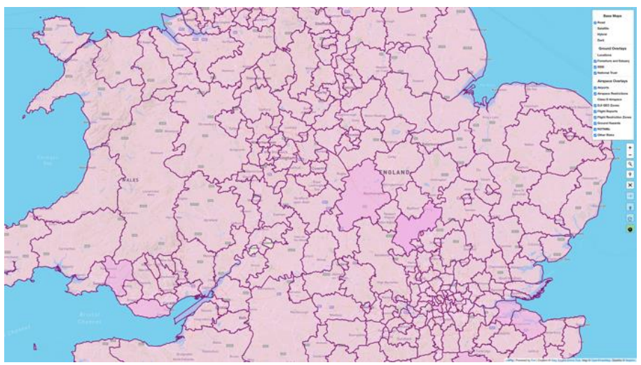
Over 370 Local Authority Byelaws and Policies on the Recreational Use of Drones are now available on Drone Scene.
Grey Arrows Drone Club is pleased to announce the integration of over 370 Local Authority Byelaws and Policies governing the recreational use of drones into our Drone Scene platform. This comprehensive data mapping comes as a result of more than 370 Freedom of Information (FOI) requests submitted to Local Authorities throughout England, Scotland, Wales, and Northern Ireland in March 2024.
The FOI request sought detailed information regarding the authorities regulations on the recreational use of drones from land under their jurisdiction.
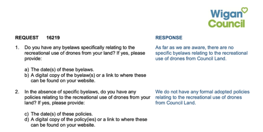
Grey Arrows Drone Club asked each authority:
Do you have any byelaws specifically relating to the recreational use of drones from your land? If yes, please provide: a) The date(s) of these byelaws. b) A digital copy of the byelaw(s) or a link to where these can be found on your website.
In the absence of specific byelaws, do you have any policies relating to the recreational use of drones from your land? If yes, please provide: a) The date(s) of these policies. b) A digital copy of the policies or a link to where these can be found on your website..
Furthermore, over four million data points defining the exact boundaries of each Local Authority have been incorporated into the Drone Scene platform.
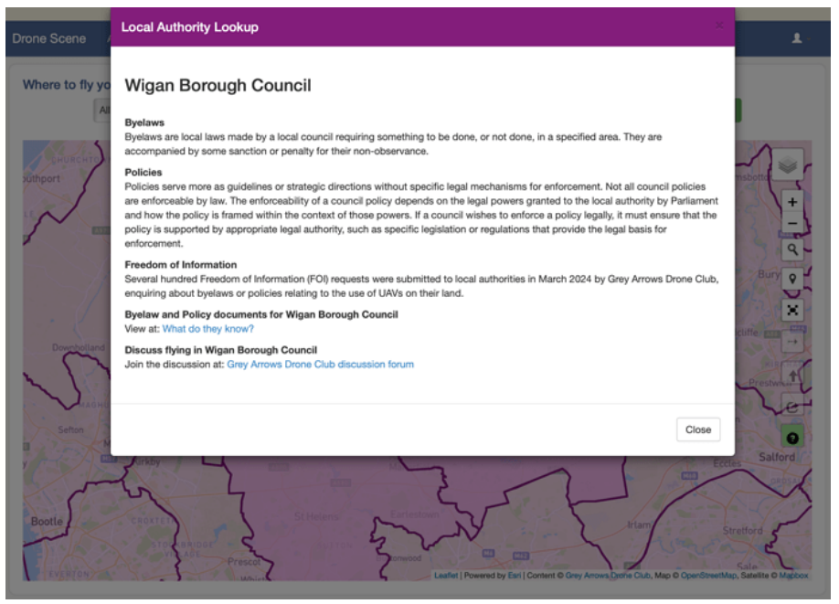
This high level of mapping detail enables Club members to find byelaw and policy information for each local authority with just a couple of clicks.
The results are available electronically and are available to club members at any time.
Drone operators are advised to consult local byelaws and policies before flying from publicly owned land.
1 May 2024 – Wigan, Greater Manchester, United Kingdom.
SAM IS ....
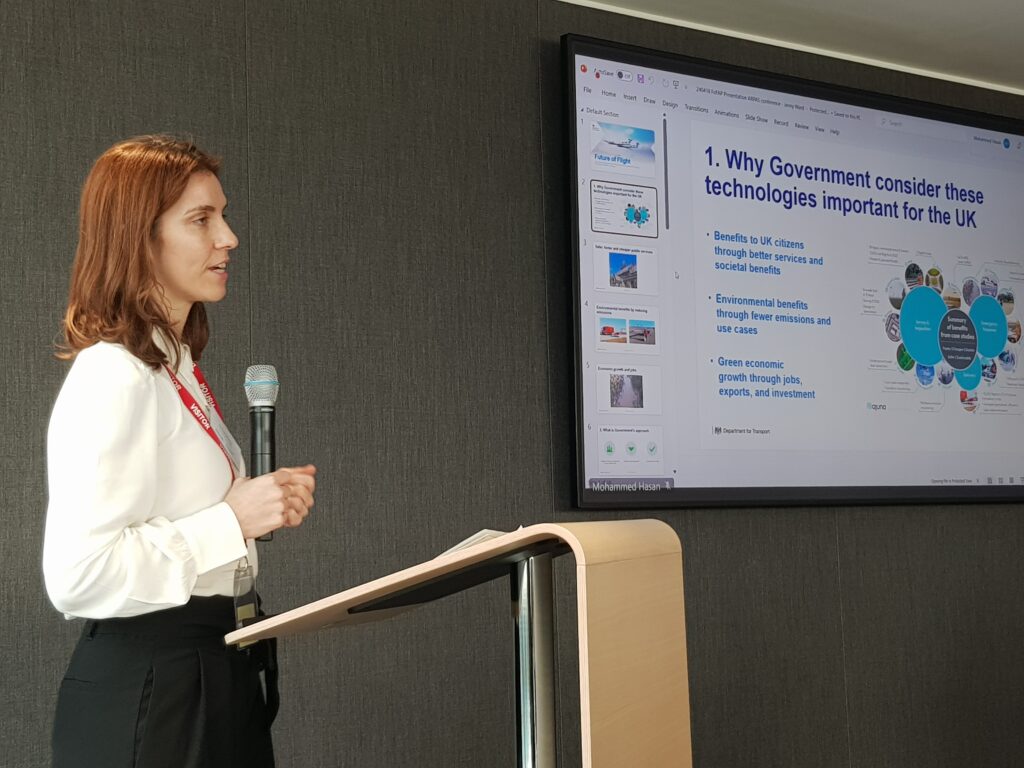
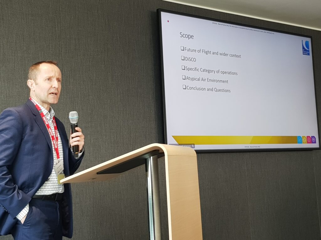
DfT Future of Flight Action Plan Update at the ARPAS-UK Annual Conference 2024
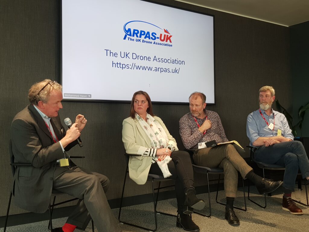
Jenny Ward, Deputy Director of the Future of Aviation Team at the Department for Transport, presented the Future of Flight Action Plan update to ARPAS-UK Members at BT’s Headquarters on 18th April 2024.
ARPAS-UK thanks Jenny for her time and willingness to be involved with the Annual Conference.
The presentation was followed by a Q&A section. Those questions not answered during the session will be forwarded to Jenny. Answers will be given to ARPAS-UK members.
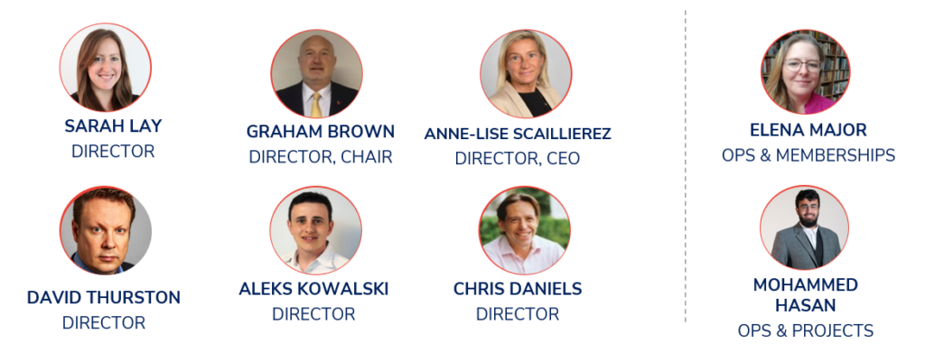
Graham Brown, Chair, Anne-Lise Scaillierez, CEO and Elena Major, Operations & Membership, provided an update to the Annual Conference on activities and priorities.
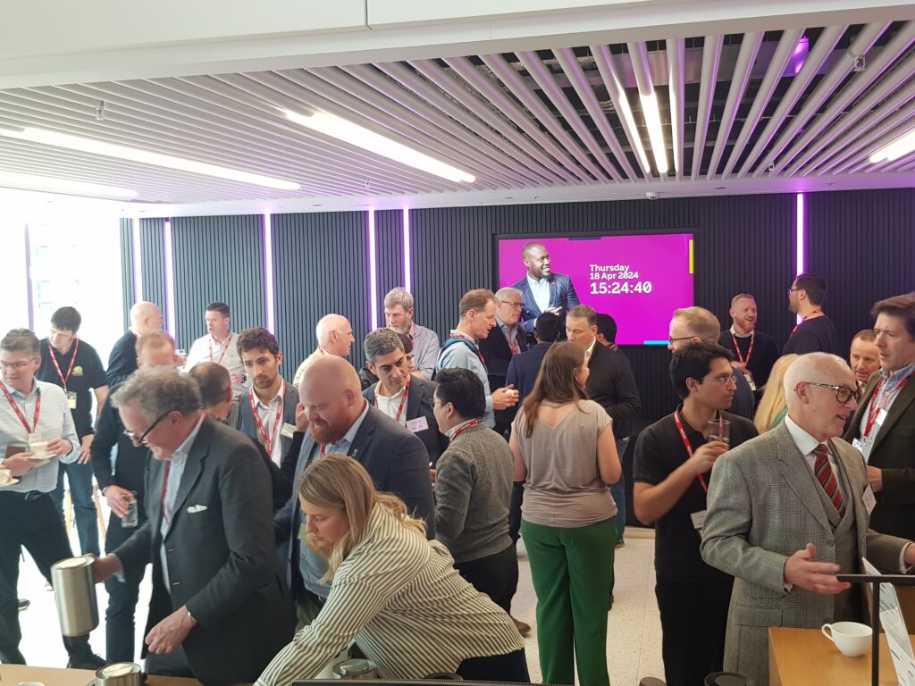
BT’s Drone Team present at the ARPAS-UK Annual Conference 2024
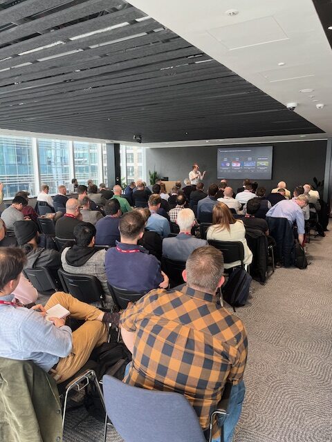
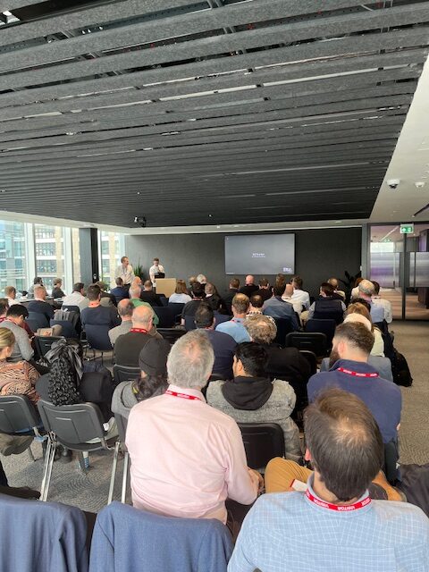
ARPAS-UK were delighted to be able to hold the 2024 AGM and Annual Conference at BT’s headquarters in London on 18 April. We welcomed BT’s Drone Team and their talk on Mobile Networks as a BVLOS Enabler.
The ARPAS-UK AGM & Annual Conference was held on a glorious spring day. We had a strong turnout and great speakers. BT’s Headquarters provided an excellent venue, and we thank them for allowing us to be there.
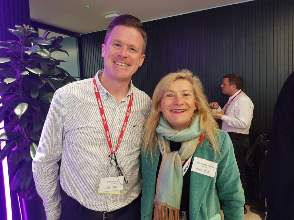
Networking is an important part of such events and the ARPAS-UK Team had factored this in to ensure that Members and speakers had sufficient time to (re)connect before the AGM, during lunch, the afternoon break and after the Annual Conference.
In the AGM, two new directors were elected: Sarah Lay and David Thurston. We are delighted to welcome them on board. In addition, Graham Brown and Anne-Lise Scaillierez both stepped down as Directors per rotation and were re-elected. In all cases, the voting was unanimously positive. A record of these resolutions has been made.
The Annual Conference:
The presentations are best viewed as videos and can be found below (click on the Presentation title). We thank the speakers for their time and expertise. We much appreciate their participation in our event.
What could possible go wrong? Threat and Error Management (TEM) is a vital part of anticipating problems and ensuring safe operations.
Welcome to Drone FEEDBACK Edition 10.
I hope you have had some good winter flying for pleasure, gathering data of one sort or another or perhaps doing trials for medical deliveries. Seasonal icing, fog and of course rain have been the main challenges the sector has had to overcome over the last few months. This has led to cold fingers trying to manipulate controllers and their myriad of buttons as well as small screens, batteries not lasting as long as they do at warmer times of the year, and other “gotchas” lying in wait for the unwary drone pilot.
In this issue we have a number of reports that were sent directly to CHIRP and we have kept our eyes open for some additional Human Factor related happenings that we feel would be useful to bring to the attention of the drone flying community. We have included a report from NASA and the UK AAIB, both of which exemplify situations that might happen to any of us and that involve Human Factors.
Whilst the days are now starting to get longer, we have been hampered by fog recently and although some of the latest drones alert you to “low visibility” these days don’t let that warning alone be the deciding factor for the decision to take-off or not. As we have noted in previous editions, propeller icing forms in a number of different scenarios so stay wary of that too when the temperature drops and you are flying in the early hours!
Human Factor related errors will however continue to creep into day-to-day operations and make life difficult. Let’s see if we can learn something from the occurrences described below.
Gotonomi and Videosoft partner to simplify UAV live video streaming
Partnership will integrate satcom and ultra-low bandwidth video streaming solutions, enhancing BVLOS operations for UAV operators
18th April, UK: Gotonomi, a UAV satellite connectivity platform provider, and Videosoft, developers of video streaming solutions, today announced a partnership that will simplify video live-streaming over satellite for UAV operators.
By integrating Videosoft’s low-bandwidth video software with Gotonomi’s Velaris Multi-Link satellite communication module, the partnership will enable operators to effortlessly receive real-time video from UAVs, even in remote areas without mobile or direct radio coverage. This new solution, which uses Viasat Velaris, a dedicated UAV connectivity service, will be particularly advantageous for BVLOS (Beyond Visual Line of Sight) operations as it will address scenarios where conventional communication methods fall short.
Secure video transmission is a key enabler for commercial UAV operators. It allows operators to perform tasks such as surveillance and monitoring in remote or hazardous locations, which are too dangerous or inaccessible for personnel to reach directly, providing an immediate response to emergencies. This combined solution has potential for ground, marine and IoT use cases, as well as for BVLOS UAV missions.
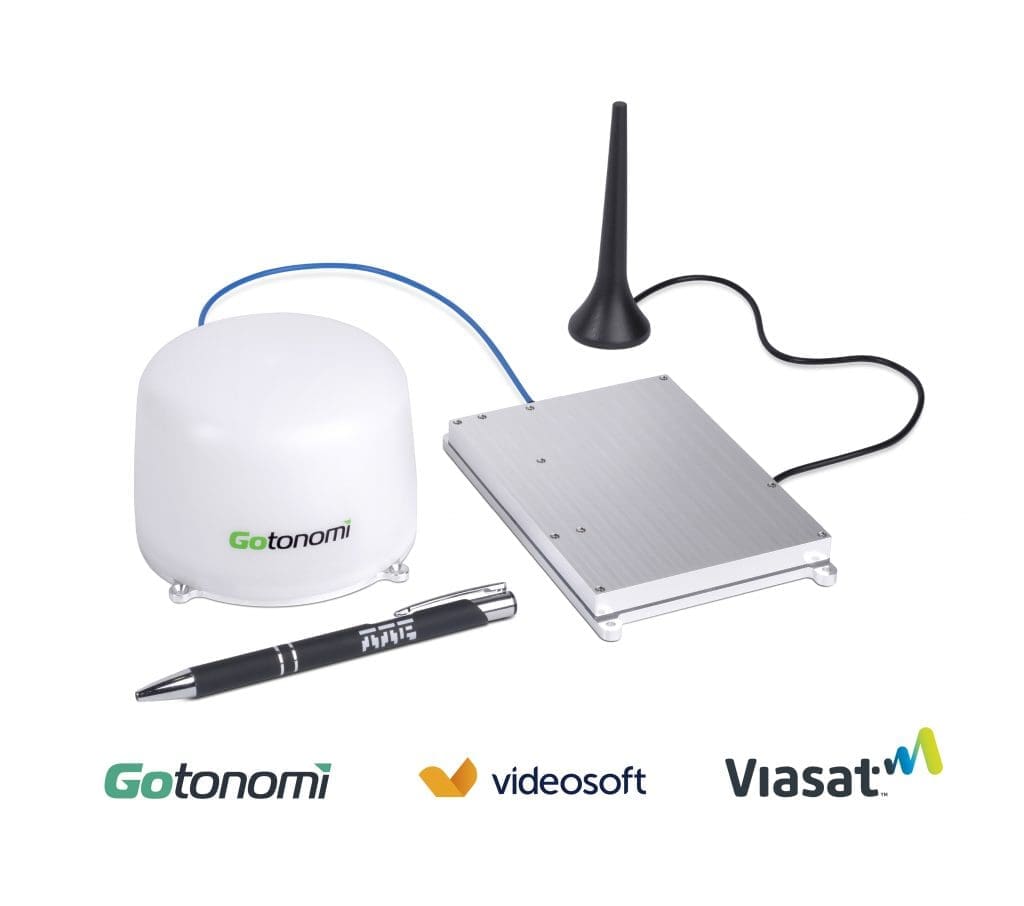
The Velaris Multi-Link module is a low size, weight and power hybrid terminal with integrated edge computing. The System on Module (SoM) allows custom applications such as Videosoft’s video compression software to process data for streaming over Viasat’s resilient Velaris global satellite solution, available almost anywhere on the planet. In addition, the Multi-Link includes an LTE module providing low latency 4G communications for redundancy. Videosoft’s software allows users to easily manage remote activities and guide remote decision-making with up-to-the-minute information and 24/7 access. This enables real-time control, and provides enhanced communication, safety, and efficiency across land, sea and air. The software will be pre-loaded and Videosoft will offer a FREE trial with each unit.
The Gotonomi Multi-link Module and 200-A Omni standalone antenna, LTE antenna also shown
Matthew Hill, General Manager at Gotonomi, said: “We are delighted to provide Videosoft’s software pre-loaded on Gotonomi’s Velaris Multi-Link terminals. There was always a vision for the requirement of edge compute to add value to UAVs operating in BVLOS situations and video compression has become a lead application. Videosoft is pioneering ultra-low bandwidth streaming capabilities and we’re excited to enter this partnership to optimise this combined solution. This is a great demonstration of why both parties are part of Viasat’s Velaris network and why its L-Band network is a perfect choice for making safe and scalable BVLOS operations a reality.”
Stewart McCone, CEO at Videosoft Global, said: “This partnership marks a significant milestone for us, tapping into a wide range of opportunities in BVLOS operations by enhancing aerial communications. Our solution is rapidly gaining traction in the UAV industry, and this collaboration has taken it to greater heights. With video integration seamlessly embedded into the Velaris Multi-Link Satellite Terminal, organisations can confidently embrace the aerial autonomy revolution.”
Anthony Spouncer, Senior Director of Advance Air Mobility (AAM) at Viasat, said: “This is a huge step forward in providing affordable Satcom for commercial UAV operations, starting with real-time video in the remote inspection & surveillance sectors. I believe the ability to use the ‘System on Module’ for embedded applications, edge processing and multi-path data links, with LTE and our highly resilient Velaris service, will transform commercial UAV operations and use cases.”
Through this partnership, Gotonomi and Videosoft will offer an integrated solution that leads the market in terms of a lightweight, low-power and cost-effective solution for remote inspection and surveillance markets: the Velaris Multi-Link Module with embedded secure video transmission via the Gotonomi 200-A OMNI stand-alone antenna.
Come and meet us at Xponential 2024, booth #5213, 23-25th April, San Diego Convention Center, San Diego, CA.
Key specs: Velaris Multilink – 140 x 95 x 15 mm (5.5 x 3.7 x 0.6”), 230g (8.1 oz) mass, 18W average power (full specs here) Gotonomi 200-A Omni Antenna – 103mm (4.1”) diameter, 72mm (2.8”) high, 210g (7.4 oz) mass
About Gotonomi
Gotonomi’s mission is to enable always on-connectivity for autonomous and remotely piloted vehicles, making safe and scalable beyond visual line of sight operations a reality. We have a vision to provide a platform for the development of UAV services for safe autonomous operation on land sea and air. Our disruptive miniaturised communication system designed by TTP plc enables satellite and cellular connectivity to smaller and lighter-weight UAVs. Connecting to the Viasat Velaris network, our technology enables beyond visual line of sight operations by enabling command and control, telemetry, data services such as video streaming, voice relay and all services required for air traffic management.
Videosoft Global is proudly solidifying its position as the “Best in Breed” video streaming solution today, offering top-tier, low-latency live video streaming services across wireless networks. With working locations spanning across the UK, France, Australia, US, Canada & Asia. Its unparalleled technology seamlessly integrates adaptive video compression and transmission protocols, revolutionising streaming capabilities by delivering remarkable ultra-low bandwidth performance starting from as little as 4kbps. This redefines the notion of a ‘low bandwidth’ video solution and ‘works when you need it most,’ even in the most challenging of environments. Hardware and network agnostic, Videosoft is well placed to meet the needs of customers experiencing real-time video challenges from remote locations, providing tailored solutions across many markets.
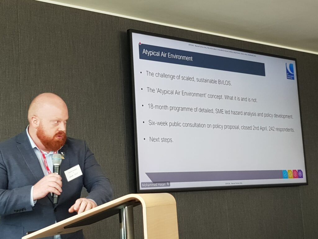
Rupert Dent attended on behalf of ARPAS-UK to ensure the Drone Industry is kept up to date and has an opportunity for their voice and opinion to be hear.
Presentations included:
Airspace Modernisation Delivery Team on Electronic Conspicuity, Future of Flight Brief, Atypical Airspace & Manchester Low Level Route Update
£1.3m for Freight Innovators Selected for Trials with Industry Heavyweights
From new cargo drones to upcycling freight trains, the latest firms selected for the Freight Innovation Fund Accelerator have been unveiled.
Ten small- to medium-sized enterprises (SMEs) will each receive a share of £1.3m to conduct technology trials with industry partners. The SMEs will also benefit from trial and business support tailored to their needs as part of the programme. This includes trial design training, monitoring and evaluation, investment readiness, pitch coaching, marketing support, and business modelling.
The Freight Innovation Fund is backed by the Department for Transport (DfT) and delivered by Connected Places Catapult. The Fund was launched in January 2023 to help SMEs develop greener and more efficient solutions for freight. The first round of winning projects on the Accelerator was announced in April 2023.
“Our freight sector is growing at pace and has the potential to support jobs and economic growth in every region of the UK.
“Transforming freight also provides opportunities to unlock efficiency savings for businesses and drive down carbon emissions. I’m pleased to welcome this exciting group of innovators to the Freight Innovation Fund Accelerator.”
Erika Lewis, Chief Executive at Connected Places Catapult
Speaking at the Microlise Transport Conference last week, Minister for Roads and Local Transport, Guy Opperman MP, announced that a new group of SMEs have been selected. Meet the accelerators’ Second Cohort :
Ai Automation
Ensemble Analytics Ltd
Flexible Power Systems
Go Rolloe Ltd
Hubl Logistics Ltd
Inteliports: Inteliports has developed a solution that can seamlessly integrate drones into communities, providing the quickest and most affordable instant delivery service in the market. In partnership with Vodafone, they aim to demonstrate that drone deliveries are a viable option and can be implemented on a large scale using autonomous hardware and the latest blockchain technology.
IONA: IONA is testing its novel tilt-rotor cargo drone that logistics providers can use instead of delivery vans and oversized vehicles in the last-mile delivery space. As part of the Freight Innovation Fund Accelerator programme, IONA is partnering with Eagle Couriers in Scotland to validate a technical proof of concept. IONA’s trial involves testing the drone’s ability to carry cargo and preparing the necessary documents for certification.
Meteor Power Limited
Sorair Technologies
Zugbox Ltd
The Freight Innovation Fund programme also features the Freight Innovation Cluster, launched last year, which has already grown to a network of over 320 businesses. The Cluster connects industry, innovators, and investors looking to explore joint opportunities and progress disruptive technologies in freight.